
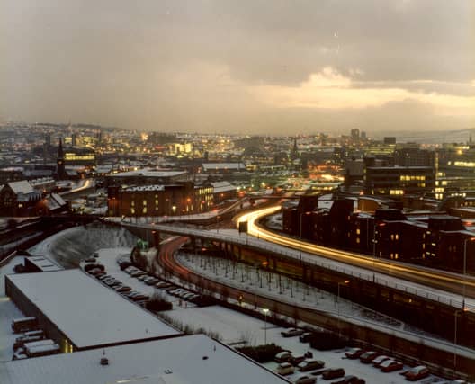

How well do you know Newcastle?
Thanks to Newcastle Libraries we have some amazing pictures of Newcastle through the decades from the air- granting us a new perspective of the city.
We have snaps of the city centre as well as the East and West End’s spanning nearly 100 years.
Do you recognise Chillingham Road in the mid-90s? How about the view from Grey’s Monument in the 60s?
Certainly no one will remember the photos from the 1920s we have, but the scene is a recognisable one with the same streets and roads we know today.
From above, St James’ Park looks very different 60 years ago- as does Eldon Square.
The bridges, however, always look the same- creating the iconic skyline of the Quayside through different decades.
So take a look, and let us know what you recognise.
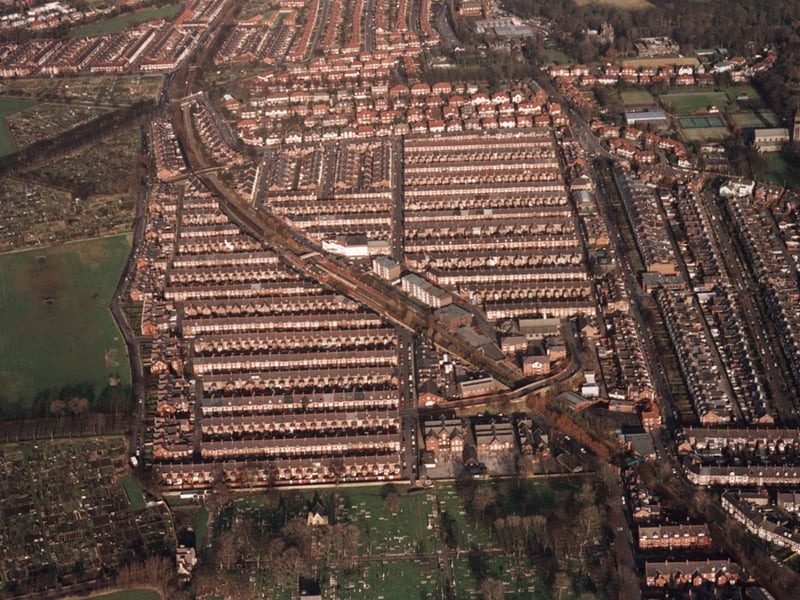
5. Above West Jesmond
An aerial photograph of West Jesmond Primary School Forsyth Road Jesmond taken in 1995. | NL Photo: Newcastle Libraries
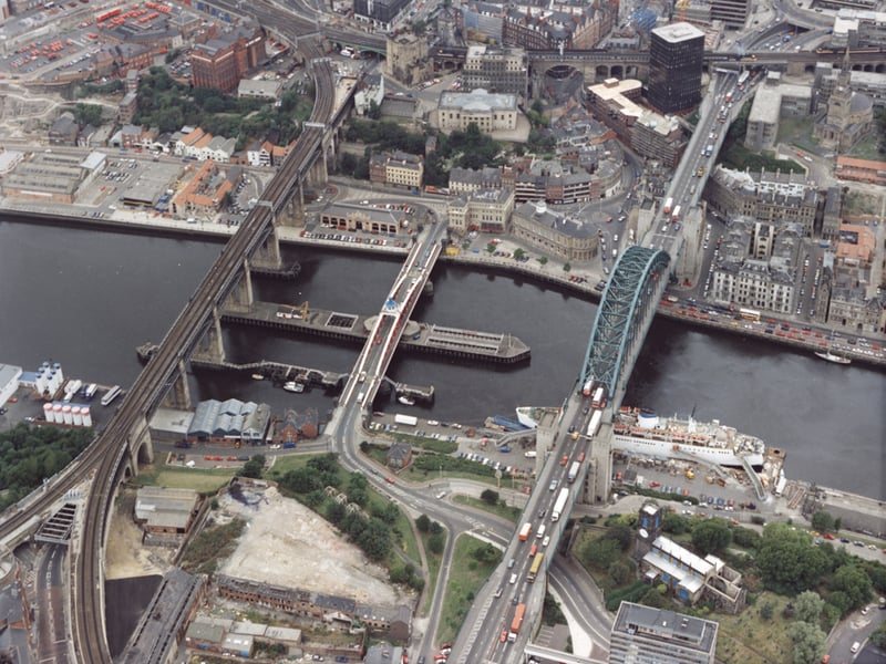
6. The bridges in 1995
An 1995 aerial photograph of the Tyne Swing and High Level bridges Newcastle upon Tyne. | NL Photo: Newcastle Libraries
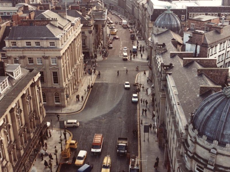
7. Grey Street 1981
An aerial view of Grey Street taken from the top of Grey's Monument in 1981. In the foreground to the right are the 'Central Exchange Buildings' and to the left 'Mawson Swan and Morgan'. Lloyds Bank is in the centre to the left with Market Street beyond. | NL Photo: Newcastle Libraries
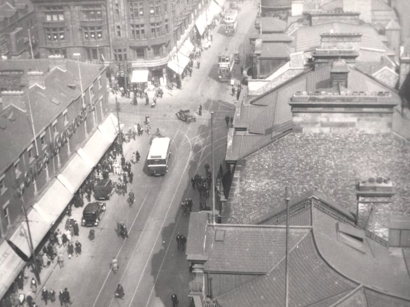
8. Blackett Street 1931
An 1931 aerial view of Blackett Street from the top of Grey's Monument. The photograph shows the junction of Blackett Street with Northumberland Street and New Bridge Street. | NL Photo: Newcastle Libraries