
Everything you need to know about why it has been so wet and will the sunshine soon return

With the Met Office once again forecasting rain for every day of the working week ahead, you could be forgiven for wondering will this wet weather ever end?
I know I certainly am.
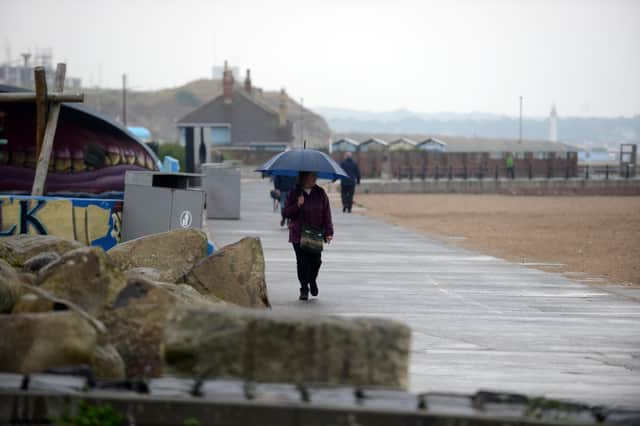

Across the UK, rain has fallen on every single day since the start of 2026 with only fleeting glimpses of sunshine and blue sky seen across Tyne & Wear.
Spare a thought for residents in Aberdeen who’ve not see the sun since January 21 - the longest sunless period in the area since Met Office records began in 1957.
Why has it been so wet?
The wet weather is due to a combination of a southerly shift in the jet stream which is currently driving a conveyor belt of low pressure systems off the Atlantic and an area of high pressure currently sitting to the North East of the UK.
Whilst this high pressure system is bringing dry and bright conditions to Scandinavia it’s also blocking low pressure systems from moving through and preventing the jet stream from moving to it’s more usual northerly position.
For the wet weather to end this high pressure system needs to dissipate and move away from Scandinavia and the jet stream needs to return north, allowing high pressure to build across the UK.
When will the wet weather end?
Rain and cloudy skies are currently forecast for Sunderland, South Shields and Newcastle from Monday to Friday, although the Met Office are currently forecasting a brief dry and bright interlude on Saturday, February 14.
Sadly the long-term Met Office forecast shows little signs of the wet weather coming to an end anytime soon.
Speaking about the long-term forecast for the UK a Met Office spokesperson said: “The early part of this period (Friday February 13 to Sunday February 22) could see colder conditions becoming established more widely for a time, bringing with it the likelihood of some snow, primarily to the north and northeast. However, this should offer a few days respite from the wet weather across the south.
“By the end of this period, the track of Atlantic depressions may shift a little further north than during the last few weeks. This will maintain broadly unsettled weather, with further spells of rain and perhaps strong winds at times.
“Many parts may become somewhat milder, given more of a westerly influence, though there remains the chance that colder conditions could linger towards the northeast.”
Looking even further ahead to the end of February and start of March there appears little in the way of any respite and the start of Spring.
The spokesperson added: “Broadly changeable conditions are expected across the UK during this period.
“Low pressure systems will probably dominate, meaning showers or longer spells of rain, heavy at times, for much of the UK, and still the chance of some hill snow in the north.
“Some drier interludes are likely, though it must be said, flooding impacts remain possible given recent very wet weather. Windy conditions look probable from time to time.
“Temperatures will probably be close to or a little above average overall, with a reduced chance, compared to earlier thinking, of a late season prolonged cold spell.”