
Met Office forecast shows when the North East will see more snow this week

The weekend saw a snowy cold spell hit the North East fairly hard, and the Met Office believes there is more to come.
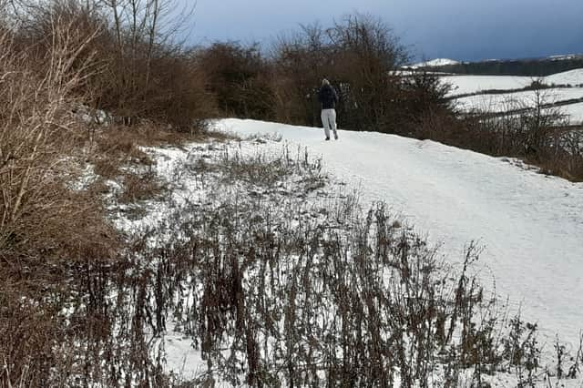
Coastal areas saw the worst of the weekend’s weather on Saturday, January 3 with freezing temperatures keeping the white stuff on the ground.
The snow turned to ice as it remained on the ground into Monday morning across much of the region, and the Met Office firecast predicts there is more to come.

When will the North East see snow again?
Although small snow flurries may continue throughout Monday, slightly warmer temperatures will mean any precipitation is more likely to fall as sleet or rain on Tuesday.
Despite this, later in the week the Met Office believes the wind will pick up, cooling the air as we enter the end of this week, with a risk of further snow on Friday.
The medium range forecast runs from Friday, January 9 until Sunday, January 18 and says: “A changeable period is expected, with Atlantic frontal systems occasionally affecting the UK, bringing spells of rain, likely preceded by snow in some areas, more especially central, northern and eastern parts.
“Some significant snowfall is possible in places, particularly on northern hills. These low pressure systems could also bring some strong winds. These will be interspersed with quieter, drier interludes under transient ridges of high pressure, with the potential for frost, and wintry showers along coasts exposed to northerly winds.”
Moving into Febriary, the longer range forecast reads: “Snow and ice remain possible, especially in central and northern parts of the UK, but the chance of these is generally lower than earlier in January.”
A Met Office warning for Snow and Ice will remain in place until 11am on Tuesday, January 6. This covers the majority of the eastern coast of England.