
Met Office issues updated weather warning with more snow set to hit in Arctic blast

An updated weather warning warning has been issued for the North East with the risk of injuries, disruption to travel, and lightning strikes.
The Met Office Yellow Warning for snow and ice covers Sunderland, Newcastle, and South Tyneside and is in place until 11am tomorrow (January 6).
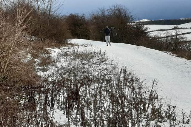

A Met Office spokesperson said: “Whilst not all areas will be affected, scattered snow showers will move inland from the North Sea during Monday, giving some small accumulations in places.
“Fresh accumulations of 5-8 cm will be possible in a few places. Lightning and gusty winds may be additional hazards, especially near windward coasts.
“Snow showers should become more isolated through Monday evening, but a risk of ice will persist through Monday night into Tuesday morning as temperatures fall below freezing.”
Temperatures are set to fall to an overnight low of minus three degrees Celsius with a real feel temperature of minus seven degrees Celsius.
The Met Office spokesperson added: “Scattered snow showers and icy patches have the potential to cause disruption to travel in places on Monday into Tuesday morning.
“Some roads and railways are likely to be affected with longer journey times by road, bus and train services. There will probably be some icy patches on some untreated roads, pavements and cycle paths.
“There will an increased risk of injuries from slips and falls on icy surfaces.”
Further snow is forecast throughout the course of today. A Cold Health Alert is also in place fore the North East.