North East weather: Met Office extends yellow weather warning for snow and ice

and live on Freeview channel 276
The Met Office has updated the yellow weather warning which was first issued to cover the North East and areas of Scotland towards the end of last week.
The warning period for snow and ice started in the early morning of Monday, March 6 and was expected to continue for two days into Tuesday, March 7 but has now been extended another few hours into the morning of the following Wednesday. The warning will now come to an end at 10am on Wednesday, March 6 although this could also be changed by the weather service.
Advertisement
Hide AdAdvertisement
Hide AdThe warning area is restricted to eastern areas of northern England and Scotland, starting near Whitby and continuing up to the Shetland Islands.
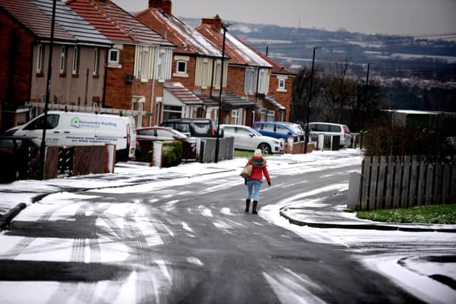

Will the North East see snow this week?
Despite the three day-long warning, not all of this time will see snowfall in the area. The Met Office is predicting a dry start to the week with Monday seeing lows of minus 1°C overnight with highs of 5°C throughout the day. The North East is expected to see snowfall start in the early hours of Tuesday morning although this is predicted to stop by 7am according to the weather service.
Tuesday will see highs of 3°C before overnight temperatures into Wednesday fall to minus 3°C.
Despite the current iteration of the warning coming to an end at 10am on Wednesday morning, wintry showers are expected throughout the morning of Thursday, March 9. This seems likely to turn to rain into the afternoon.