
When will it snow next in Newcastle? Met Office predictions for the coming days and weeks

The North East has seen the first snowfall of winter this week, but how much more can we expect before the end of the year?
Following waether warnings for snow and ice across the North East and wider north of England earlier this week, the region saw some snowfall on Tuesday and Wednesday, although this was not enough to cause any widespread issues.
But with Christmas now only a month or so away, what can we expect over the coming days and weeks?
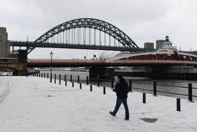

When will it snow next in Newcastle?
The Met Office has a warning in place for parts of the North East heading into the end of this week, including one for rain and snow over the weekend.
A further warning is in place to end the working week, although it is thought this will only impact areas directly on the coast.
The Met Office forecast for the weekend suggests temperatures will rise as we get away from the cold snap which has frozen the North East over the last few days. Highs of 6°C on Saturday, November 23 will only fall to overnight lows of 1°C before double figures are expected to return by Sunday.
This is thanks to cloudier conditions which are expected to continue into next week.
Forecasts predict this Saturday will see heavy levels of preciptiation, especially in the late morning, although it is thought this will fall as rain rather than snow or sleet.
The Met Office’s medium to long range forecast for Newcastle, which runs from Monday, November 25 until Wednesday, December 4, is predicting: “An unsettled start, with strong winds and some showers for many parts, these most frequent in the north.
“Temperatures easing back towards average for most places, but still mild in the southeast. The strong winds will make it feel rather cold though. It then looks like turning colder for all parts, with a return of wintry showers for a time, especially in the north.”
Heading further into December, the long range forecast claims: “ The start of this period looks like being largely settled, with high pressure close to if not over the UK. However, there is also a chance of more changeable weather patterns, which would see Atlantic weather systems periodically move across the country.
“These will bring some wetter and windier interludes with a risk of some snow, especially for hills in the north. These conditions look more likely to dominate towards the middle of December.”