Will it snow in Newcastle this week? Is snow forecast for the UK? - Met Office issues yellow weather alert

and live on Freeview channel 276
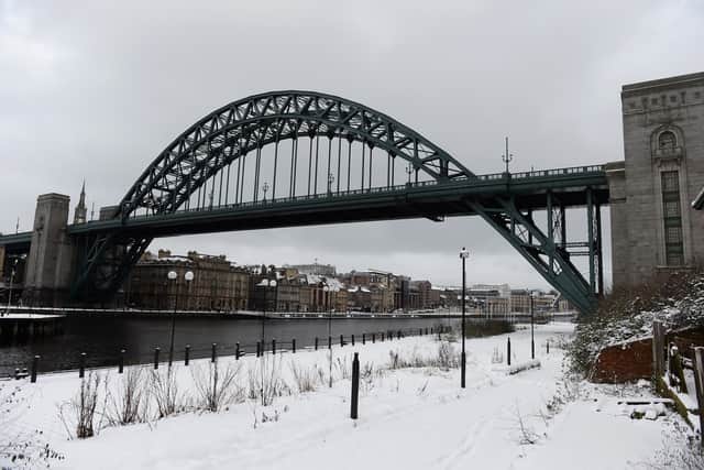
Snow has arrived in Newcastle only hours before a Met Office yellow status weather warning of ice is due to become active.
The warning was issued by the Met Office on Wednesday and applies the majority of North East England and parts of Scotland.
Advertisement
Hide AdAdvertisement
Hide AdThe weather alert will be active between 8.00pm on Wednesday and 10.00am on Thursday.
The temperatures in Newcastle will drop to below zero in the coming hours.
Once the wind chill factor is taken on board it’s likely that Newcastle could see feels like temperatures as low as -4°C in the coming hours with more snowfall forecast for later on this evening.
What to expect:
- Probably some icy patches on some untreated roads, pavements and cycle paths, leading to an increased chance of accidents or injuries.
- Some higher elevation roads may be also affected by snowfall, resulting in longer journey times.
What has the Met Office said?
“Further wintry showers overnight Wednesday and early Thursday may lead to fairly widespread icy patches, particularly on untreated surfaces,” said the Met Office.
Advertisement
Hide AdAdvertisement
Hide AdThe Met Office added: “Some accumulations of snow are also possible, particularly across eastern Scotland and hillier areas of northeast England.
“One to two cm accumulations are possible mainly above 100 m, with 5 cm over parts of Scotland, Northumberland and the North York Moors above 200-300 m.”

North East England weather forecast:
Wednesday 30 March - Sunday 3 April
Today (Wednesday):
Cloudy with a band of rain and hill snow clearing south early this morning.
Snow showers following from the north east, settling briefly across inland areas.
Advertisement
Hide AdAdvertisement
Hide AdSunny spells in the afternoon, but snow showers continuing. Maximum temperature 5 °C.
Tonight:
Snow showers continuing throughout the night with occasional clear spells.
Feeling cold with strong winds, particularly near the coasts.
Frosty by dawn. Minimum temperature -4 °C.
Thursday:
Blustery wintry showers at first, gradually easing and becoming less frequent during the day. Feeling cold in the wind. Maximum temperature 6 °C.
Outlook for Friday to Sunday:
Advertisement
Hide AdAdvertisement
Hide AdBright and sunny on Friday, a few showers possibly along the coast. Cloudy with outbreaks of rain on Saturday. Widespread sunshine Sunday. Cold throughout with frosty mornings.
UK long range weather forecast Monday April 4 to Wednesday April 13
“Through Monday scattered showers continuing along eastern coastal regions, these dying out with time,” said the Met Office.
“Thicker cloud across the northwest likely spreading southeastward through the day, bringing periods of rain, these potentially heavy for the far northwest, and possibly wintery in the northeast for a time.
“Unsettled conditions are expected to continue through the rest of later in the week - with most areas will seeing spells of rain or showers, potentially wintry on high ground at times.
Advertisement
Hide AdAdvertisement
Hide AdDrier and more settled spells of weather are still possible, but more short-lived than recently.
“Showers will be heavy at times, with hail and thunder.
“Strong winds are also likely at times, particularly in the north and west, with temperatures mainly near or slightly above average.”
UK long range weather forecast Wednesday April 13 to Wednesday April 27
“Likely remaining unsettled during the start of this period, with periods of rain and showers and likely brief drier interludes,” said the Met Office.
“Showers may be heavy at times, some perhaps thundery with a chance of hail.
Advertisement
Hide AdAdvertisement
Hide Ad“Strong winds are also probable, particularly to the north and west.
“Towards late April, there are tentative signs of more settled conditions redeveloping, although rain and showers remain possible.
“Temperatures looking to be above average, especially in the south, and likely to be closer to average across the north.”
Comment Guidelines
National World encourages reader discussion on our stories. User feedback, insights and back-and-forth exchanges add a rich layer of context to reporting. Please review our Community Guidelines before commenting.