Storm Dudley: Met Office change warning for EXACT moment 80 mph winds to batter Newcastle

and live on Freeview channel 276
The Met Office has altered its weather warning for the North East as people brace for the impact of Storm Dudley.
An amber warning for ‘very strong and disruptive winds’ was put in place on Monday, February 14 but now, just 24 hours later, the Met Office has updated that.
Advertisement
Hide AdAdvertisement
Hide AdIt is now thought that the winds, which could reach up to 90 mph on Tyneside, is expected to arrive earlier tomorrow on Wednesday, February 16.
Previously it was thought the dramatic winds would arrive at 6 pm and last until 9 am on Thursday, February 17.
That has now changed with Storm Dudley coming at 4 pm on Wednesday.
It means the winds will be swirling around Newcastle and surrounding areas in the afternoon and during the rush hour commute home.
Advertisement
Hide AdAdvertisement
Hide AdHowever, the winds are set to be less serious by 23:59 on Wednesday night.


The Met Office has told people in Newcastle to expect that: “Road, rail, air and ferry services may be affected, and some roads and bridges are likely to close, leading to longer journey times and cancellations.
“Probably some fallen trees and damage to buildings, such as tiles blown from roofs.
“There is a good chance that power cuts may occur, with the potential to affect other services, such as mobile phone coverage.
Advertisement
Hide AdAdvertisement
Hide Ad“Injuries and danger to life is likely from large waves and beach material being thrown onto coastal roads, sea fronts and properties.”
The warning added: “Very strong westerly winds are expected to develop across western Scotland and northern Northern Ireland late Wednesday and extend eastward across southern Scotland and northern England during the evening.
“There is still some uncertainty in the timing and location of the strongest winds but there is the potential for inland wind gusts of 70-80 mph in places. Gusts of 80-90 mph are possible around exposed coasts and hills.”
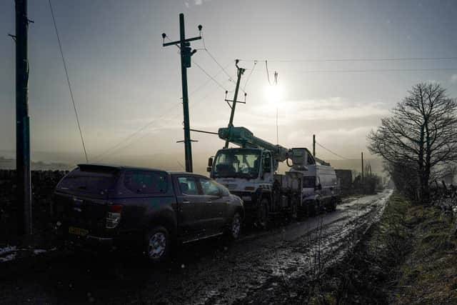
It’s been a tricky winter for the area after Storm Arwen left thousands across the North East without power in December.
Advertisement
Hide AdAdvertisement
Hide AdNorthern Powergrid apologised at the time, saying: “As well as creating enormous challenges for us in terms of the engineering work we have to do to respond, the scale of the disruption has made it very challenging for us to communicate effectively with our customers.
“We have heard that loud and clear - and we are sorry that we weren’t able to do better in that respect.”
Comment Guidelines
National World encourages reader discussion on our stories. User feedback, insights and back-and-forth exchanges add a rich layer of context to reporting. Please review our Community Guidelines before commenting.